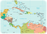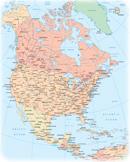
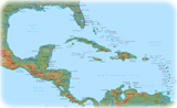
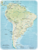
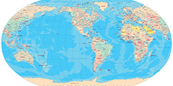
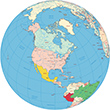
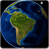
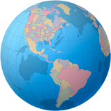
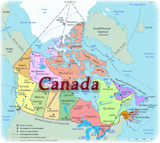
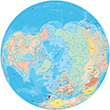
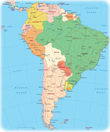
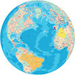
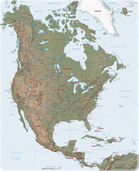
Maps of The American Continent
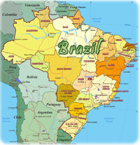
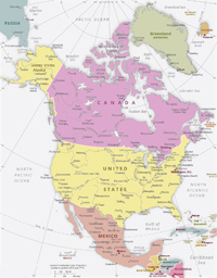
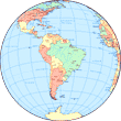
Maps of the Countries
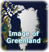
Territories and Islands
Bonaire, Sint Maarten and Curacao
Easter Island (Isla da Pascua) - Chile
Falkland Islands - UK (Islas Malvinas)
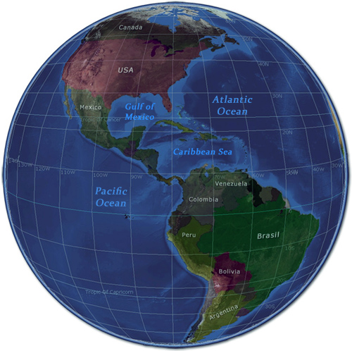
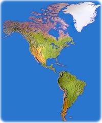
America is a continent divided into four parts: South America, Central America, North America and the Antilles.
America was named, in 1507, by German cartographer Martin Waldseemüller after Italian merchant and explorer Amerigo Vespucci. After navigating with Portuguese along the Brazilian coast, Vespucci envisioned that there would be a "New World" on that part of the Planet. Not to be confused with the lands discovered by Columbus years before. Originally, America was a part of South America, mostly Brazil and its westward extension to the Pacific Coast, then not yet discovered by Europeans.


Brooklyn Bridge Park with New York City skyline in the background (credit NYC & Company / Julienne Schaer).

|
Copyright © Geographic Guide - World in Pictures, America. |
Maps of The American Continent