
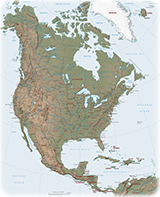
Images of North America
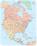
North America is one of the four parts of the American Continent. The other parts are Central America, South America and the Antilles. North America includes Canada, Greenland (an autonomous territory in the Kingdom of Denmark), Mexico, Saint Pierre and Miquelon (a self-governing territorial overseas collectivity of France) and the United States. Canada and the U.S.A. are two of the largest countries in the Planet.
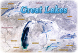
The Great Lakes comprising: Lake Superior, Lake Michigan, Lake Huron, Lake Erie and Lake Ontario, represents the largest surface of fresh water in the world.
The Rocky Mountains are a major mountain range and the largest mountain system in North America. It stretches 4,800 km from the northernmost part of Western Canada, to New Mexico in the Southwestern United States.
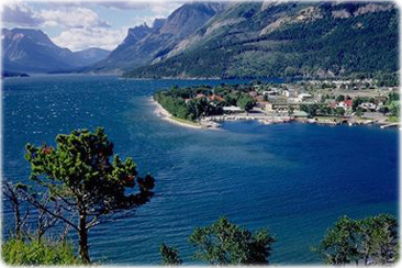
Waterton town site, Waterton Lakes, Alberta.
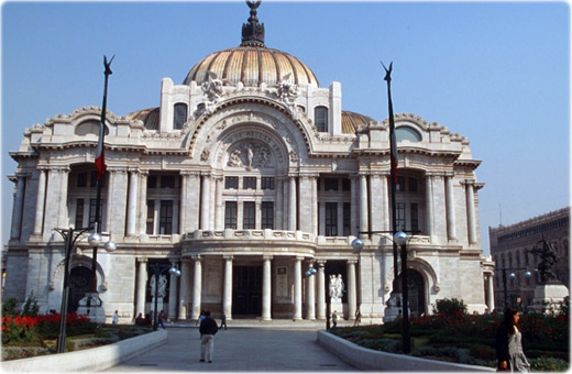
Palace of Fine Arts, Mexico City.


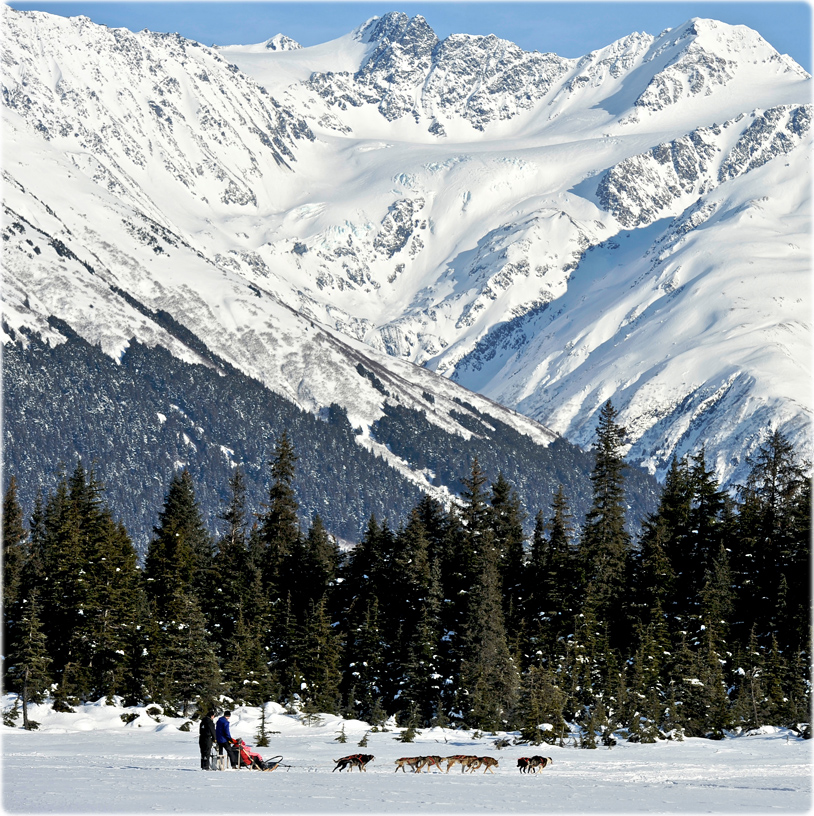
Family on a dog mushing ride with Chugach Express Dog Sled Tours in Girdwood, Alaska (© State of Alaska/Matt Hage).
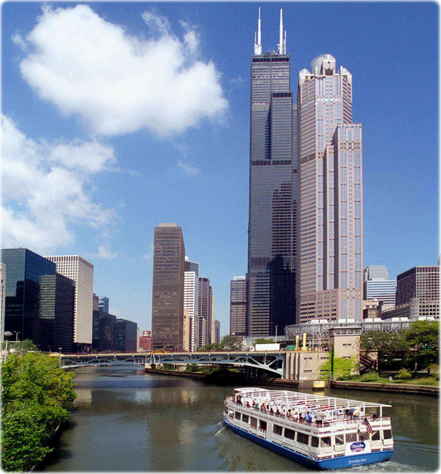
South Loop River in Chicago, the third largest city of United States.


M. Bowen
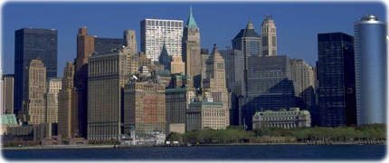
Skyscrapers in Manhattan, New York City.

|
Copyright © Geographic Guide - World in Pictures. North America. |
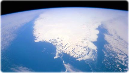
Greenland - This spectacular north looking view of south Greenland shows numerous indentations along the coastline, many of which contain small settlements. These indentations are fiords carved by glaciers of the last ice age. Even today, ice in the center (NASA). Greenland is the biggest island of the world, with an area of 2,175,600 km². It is also the least densely populated: only 3 people per 100 km².
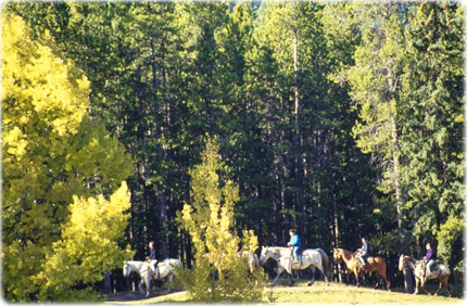
Horseback riders in Banff Springs, Alberta, Canada.
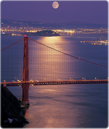
The Golden Gate Bridge and Alcatraz Island bask in the moon’s milky glow over San Francisco. The Golden Gate Bridge's two tapered towers, sculpted in the Art Deco style of the 1930s, were once the tallest bridge towers ever built, soaring 65 stories above San Francisco Bay.
More: Images of U.S.A. ►
Images of North America
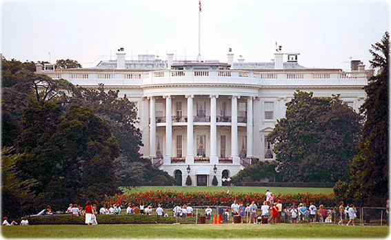
White House, Washington DC.
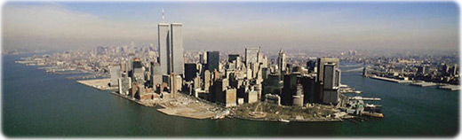
The old view of Manhattan, with World Trade Center destroyed in 2001.
Courtesy Illinois Office of Tourism