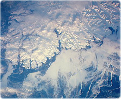
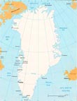
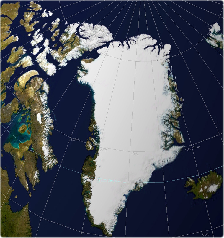
Image of Greenland (NASA)
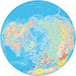
Arctic Ocean
Greenland
(Denmark)
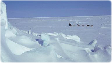
Dog sled across a lake, a common means of transportation in Greenland.

Southern tip of Greenland.
|
Copyright © Geographic Guide - World in Pictures, American Continent. |
Baffin Bay
Baffin Island
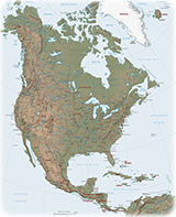
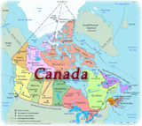
Canada
Atlantic Ocean
Iceland
Davis Strait