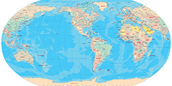
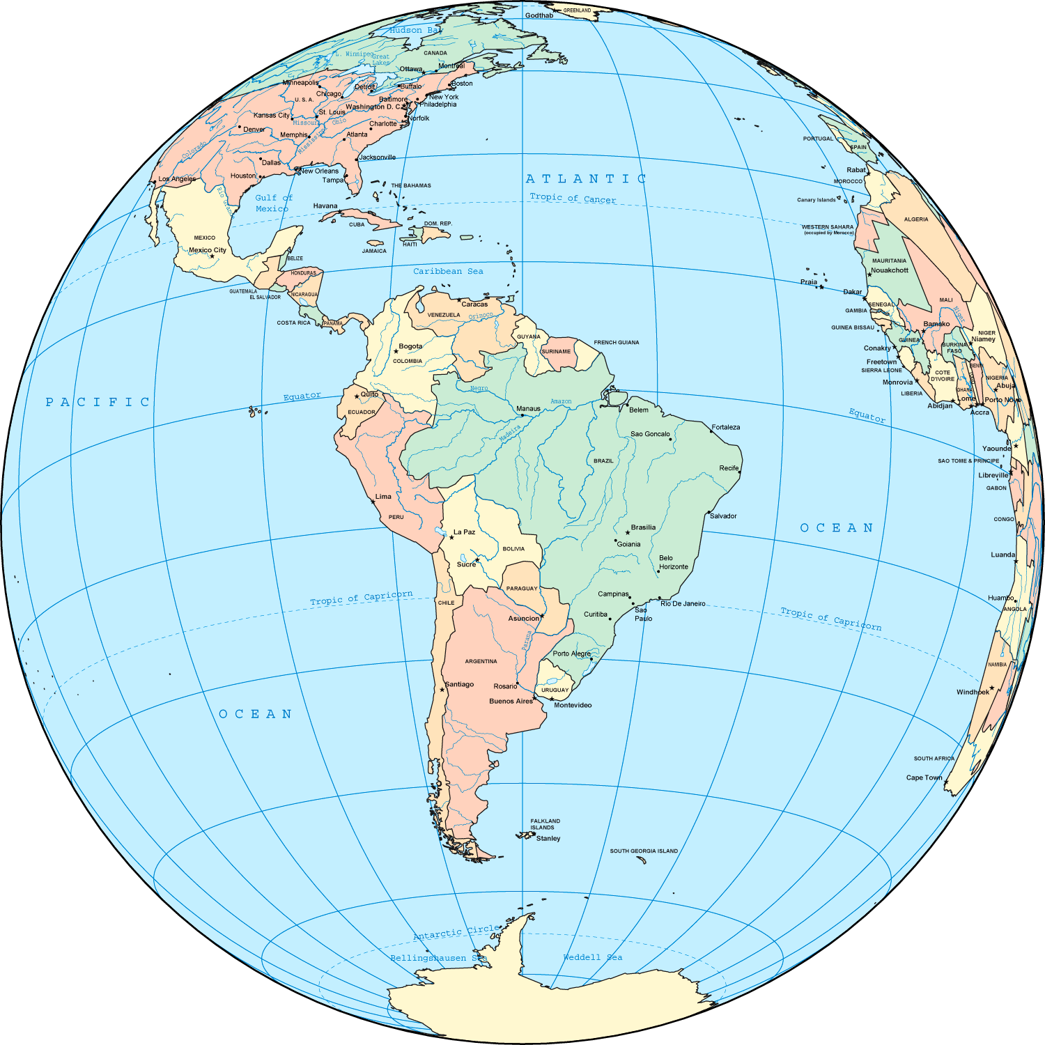
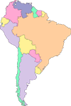
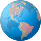
South America - Political Map in the Globe
◄ World Maps
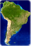
◄ South America
Copyright © Geographic Guide - World in Pictures, American Continent.