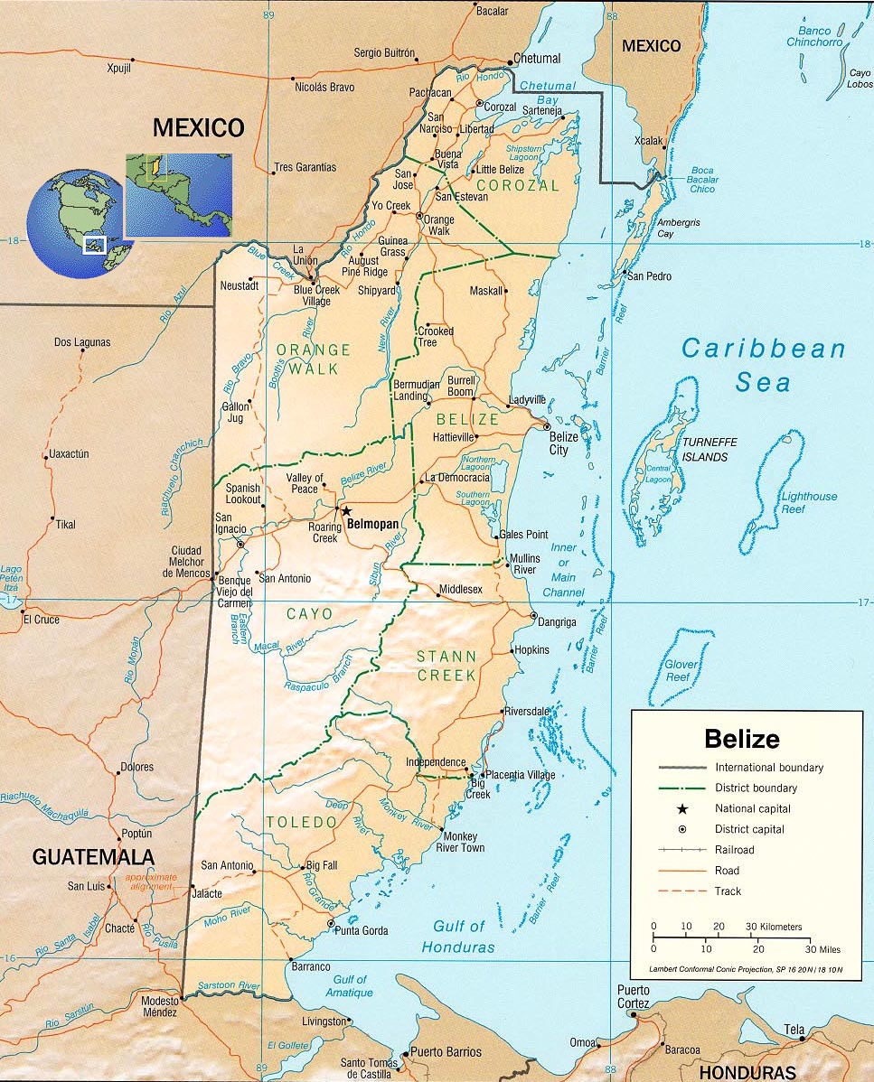
Belize Map
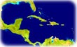
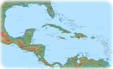
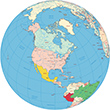
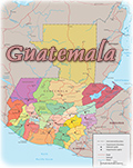
Belize, former British Honduras, is a parliamentary democracy and a Commonwealth realm. It is located in Central America, bordering the Caribbean Sea, between Guatemala and Mexico. The capital is Belmopan. The country has six districts: Belize, Cayo, Corozal, Orange Walk, Stann Creek and Toledo.
More: Trinidad & Tobago and St Vincent & the Grenadines.
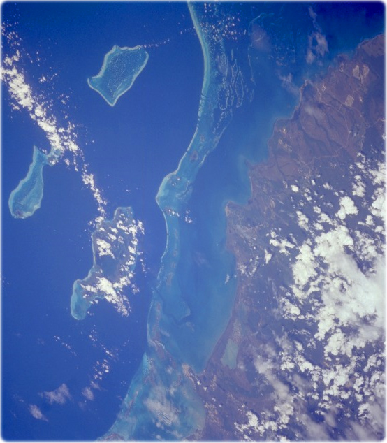
Reefs, Belize (NASA - March 1995). Formerly known as British Honduras, the low and marshy coastal plain of the small country of Belize is visible in this photograph. A popular site for skin diving and snorkeling, an almost unbroken chain of coral reefs and shoals stretches in the clear waters of the western Caribbean Sea approximately 20 km from the east coast of Belize. Three large concentrations of reefs and islands farther east are the Turneffe Islands, Lighthouse Reef (easternmost and fish-shaped), and Glover Reef. The relatively remote location and the pristine environment of Belize provide natural attractions to the area. The largest city of the country, Belize City, is barely evident on the small peninsula near the north edge of the photograph. Sugar and citrus fruits are the country’s two leading agricultural products; tourism is becoming a viable industry. Ethnically Belize is more closely tied to its Caribbean island neighbors than to the Spanish-speaking countries of Central America.
|
Copyright © Geographic Guide - World in Pictures, American Continent. |
All rights reserved |