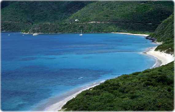
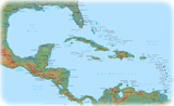
Virgin Islands


British Virgin Islands are an overseas territory of the UK. It includes the islands of Tortola, Anegada and Virgin Gorda. United States Virgin Islands are a territory of the US. It includes the islands of Saint Croix, Saint John, Saint Thomas.


america maps


Central America map


Virgin Islands Map

America maps


Map: U.S. Central Intelligence Agency.


Territories and Islands - Americas

Anguilla - UK

Aruba - Netherlands

Bermuda - UK

Cayman Islands - UK

Easter Island (Isla da Pascua) - Chile

Falkland Islands - UK (Islas Malvinas)

French Guiana

Galapagos Islands - Ecuador

Guantanamo Bay - US Base

Greenland - Denmark

Guadeloupe - France

Martinique - France

Montserrat - UK

Netherlands Antilles

Puerto Rico - USA

Saint Pierre and Miquelon - France

Turks & Caicos Islands - UK

Virgin Islands


Caribbean
Central America Map


North America


◄Geographic Guide

◄America maps

◄World maps


Google


All rights reserved