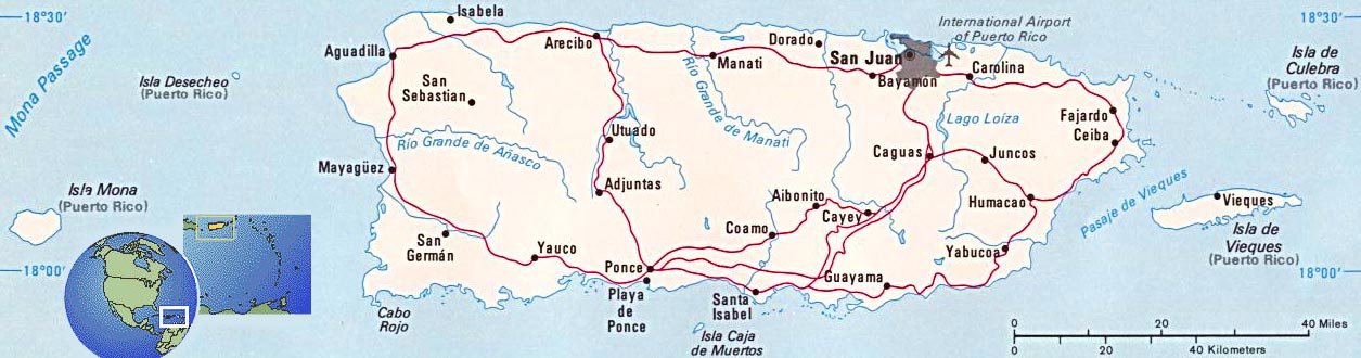
Puerto Rico Map
Puerto Rico is one of the most interesting Caribbean destinations. There is the charm of Old San Juan, the natural beauty of El Yunque Rainforest and world-renowned beaches.
Territories and Islands in America

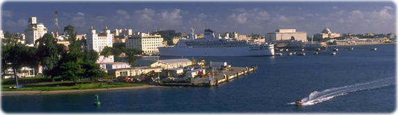
San Juan, capital.
|
|
Copyright © Geographic Guide - World in Pictures, American Continent. |
All rights reserved |