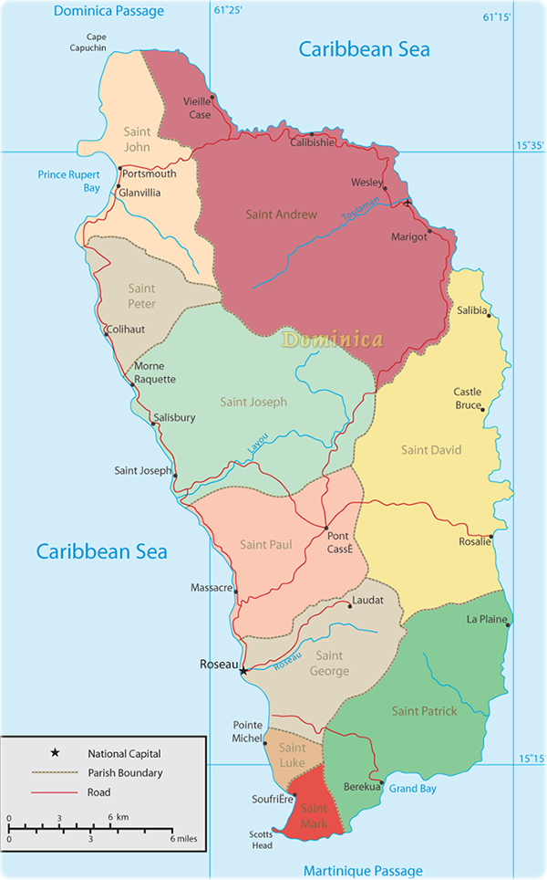
Map of Dominica
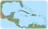
Dominica is a country in the West Indies. It is a mountainous island with rugged terrain, much of it covered by thick tropical rain forests. The capital, largest city and port is Roseau.
Agriculture is the most important area of Dominica’s economy. Most of the people are descended from Africans brought to the island to work on banana plantations. Dominica has a rainy climate and its few beaches are small, so it attracts fewer tourists than other Caribbean islands. However its unspoiled rain forests, hot springs, and waterfalls offer many pleasures for hikers and nature-lovers. The coral reefs off the coast provide good opportunities for snorkeling and scuba diving.
Christopher Columbus sighted the island in 1493 and named it after the day of the week, Sunday, or Dominicus in Latin. England and France later competed for control of the island. Although England won out, French influence remains and most of the people speak a French-based creole language. A few thousand Carib Indians still live on the island.
|
Copyright © Geographic Guide - World in Pictures, American Continent. |