Images of Antarctica
Antarctica is continent governed by the Antarctic Treaty System, signed in 1959, it entered into force in 1961, but not all countries recognize it.
Antarctica has a total area of 14 million km², mostly south of the Antarctic Circle. About 98% of its terrain is a thick continental ice sheet and 2% barren rock, with average elevations between 2,000 and 4,000 meters; mountain ranges up to nearly 5,000 meters. The highest point is Vinson Massif (4,897 m). There are no indigenous inhabitants, but there are both permanent and summer-only staffed research stations.
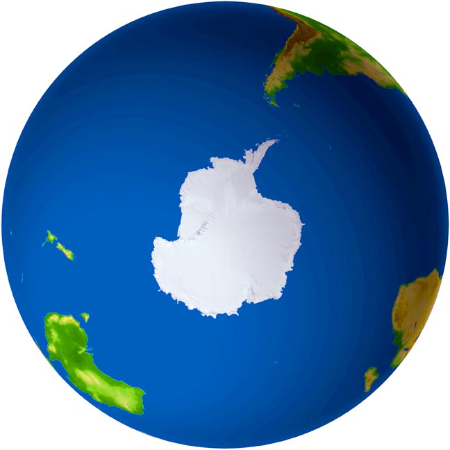
See a map of Antarctica and the Arctic Region.
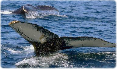
A pair of humpback whale.
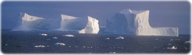
Icebergs in the Antarctica coast.
|
Copyright © Geographic Guide - World in Pictures, Continents. |
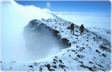
Mount Erebus
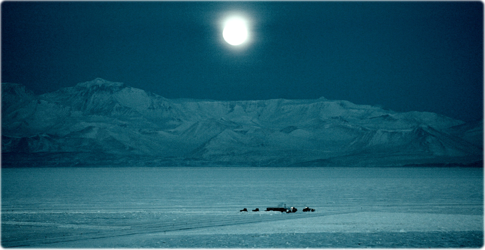
The moon over the Royal Society Range, near Ross Island. Vehicles preparing the Annual Sea Ice Runway can be seen in the foreground. Photo taken on September 8, 2006 by Angela Garner, NSF.
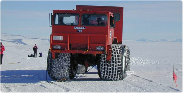
Transportation.
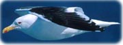
A black-backed gull fishing in Antarctica.
Images of Antarctica
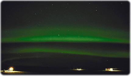
A rare are image of polar aurora close to South Pole, in a research station, Antarctica.