South Africa Map
Nelson Mandela Bay Stadium (Rodger Bosch).
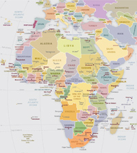
Republic of South Africa (RSA) political map with its nine provinces and border countries: Zimbabwe (Eswatini), Namibia, Botswana, Mozambique and it encloses Lesotho. Pretoria is the administrative capital. Cape Town, is the seat of Parliament and Bloemfontein is the judicial capital. The largest, most populous city is Johannesburg, followed by Cape Town and Durban. In South Africa: Eastern Cape, Free State, Gauteng, KwaZulu-Natal, Limpopo, Mpumalanga, Northern Cape, North-West, Western Cape. Ports: Cape Town, Durban, Port Elizabeth, Richards and Saldanha Bay. Big cities: Cape Town, Newcastle, Durban, Johannesburg and Port Elizabeth. Each province has its own legislature, premier, and executive council, and is characterized by its own unique landscape, population, economy and climate.


City of Durban on the east coast, the third most populous city in South Africa and the largest city in the province of KwaZulu-Natal (photo Rodger Bosch).
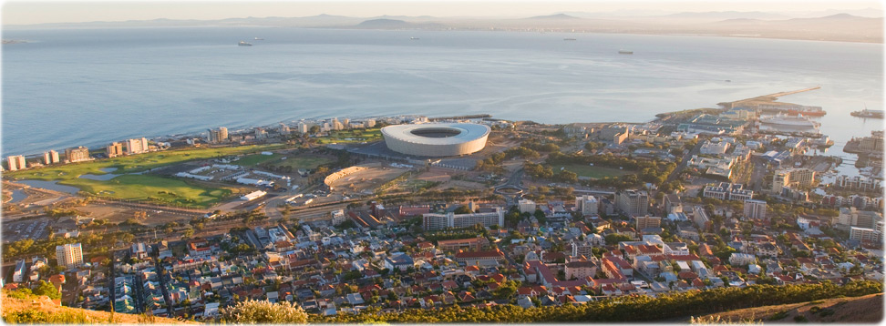

The Green Point, in Cape Town, South Africa (Media Club South Africa).


The Soccer City Stadium, in Johannesburg, South Africa (foto Ndaba Dlamini).
|
Copyright © Geographic Guide - World in Pictures. African Continent. |
South Africa Map