◄ World Maps
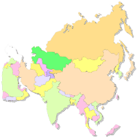
◄ Asia
Asia Map ►
Maps of Continents Africa Asia Europe Central America North America South America Oceania Antarctica Arctic Region Time Zones World Maps
Maps of Continents
Africa
Asia
Europe
Central America
North America
South America
Oceania
Antarctica
Arctic Region
Time Zones
World Maps
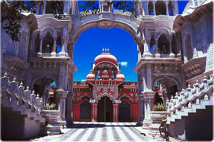
Krishna Balaram Temple - northern Uttar Pradesh - India.
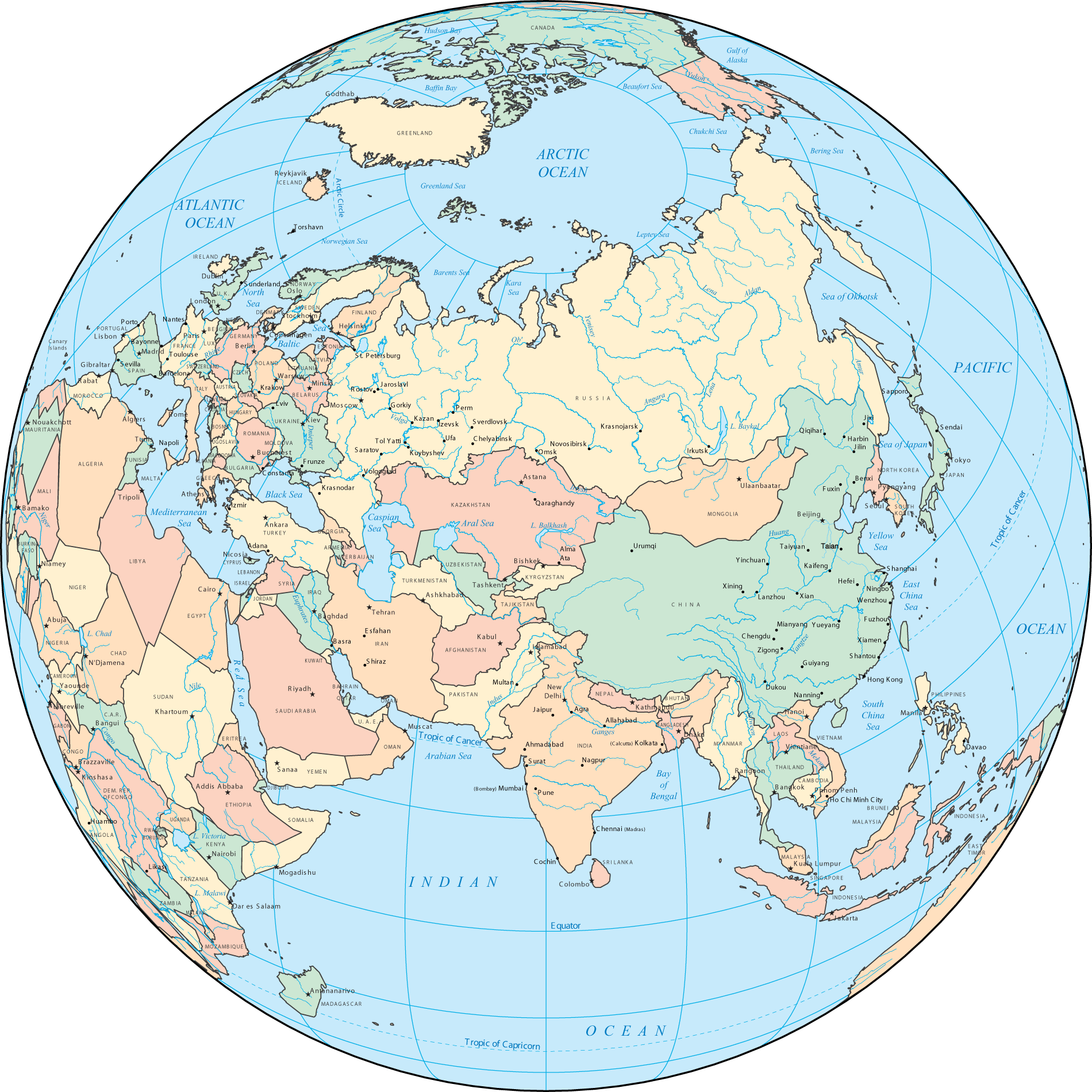
Asia and Arctic Ocean - Political Map and Globe
Copyright © Geographic Guide - World in Pictures.
All rights reserved