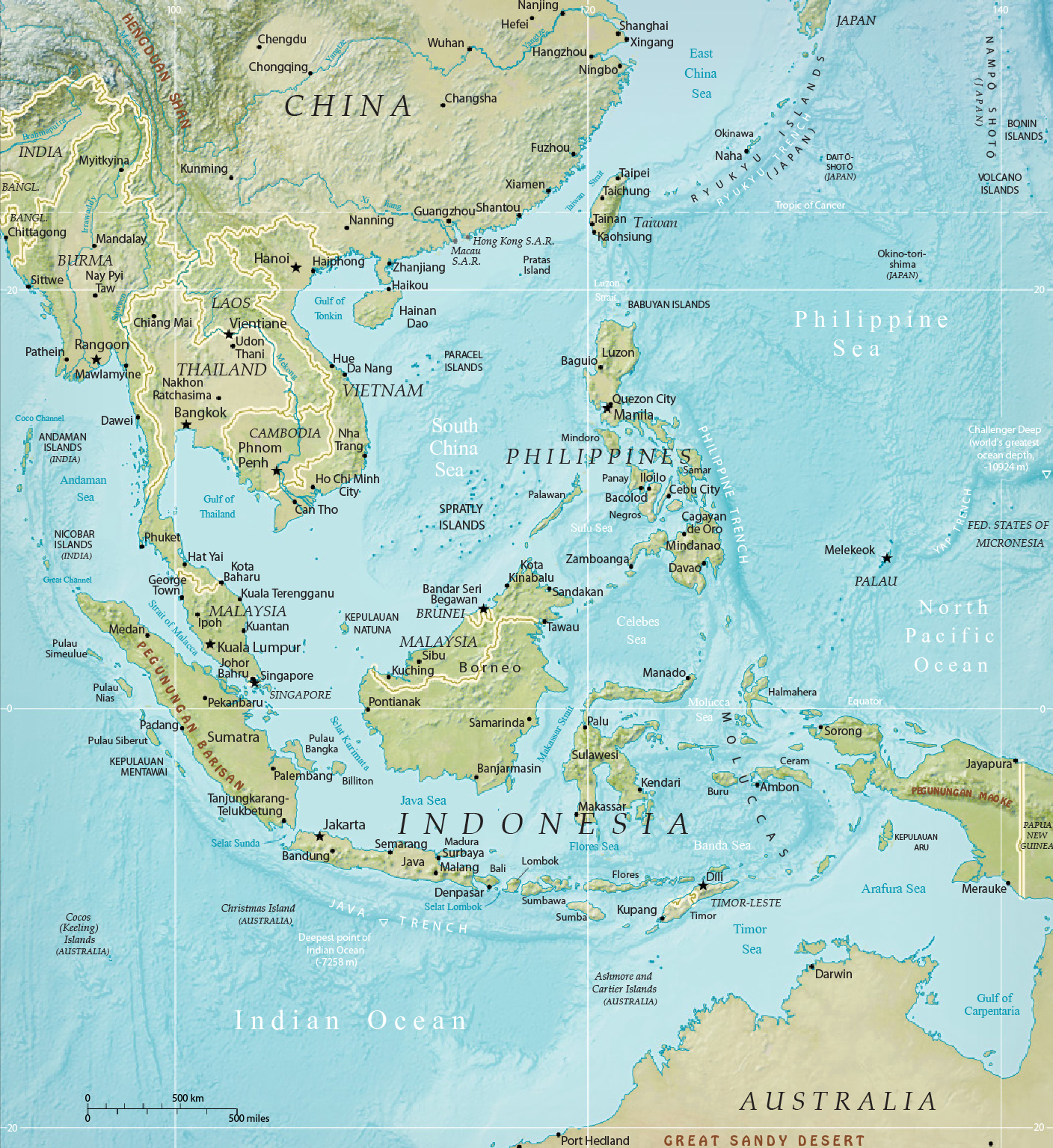
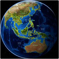
Southeast Asia - Physical Map

Physical map of Southeast Asia, from U.S. Central Intelligence Agency. Southeast Asia is a diverse geographical region in Asian Continent, comprised of 11 countries divided into two zones: the mainland (Cambodia, Laos, Myanmar, Singapore, Thailand and Vietnam) and the maritime zone (Brunei, Indonesia, Malaysia's eastern part, the Philippines, and Timor-Leste).
The region lies near the intersection of geological plates, with both heavy seismic and volcanic activities. The Sunda plate is the main plate of the region, featuring almost all Southeast Asian countries except Myanmar, northern Thailand, northern Laos, northern Vietnam and northern Luzon of the Philippines, while the Sunda plate only includes western Indonesia to as far east as the Indonesian province of Bali. The mountain ranges in Myanmar, Thailand, Peninsular Malaysia, and the Indonesian islands of Sumatra, Java, Bali, Lesser Sunda Islands, and Timor are part of the Alpide belt, while the islands of the Philippines and Indonesia as well as Timor-Leste are part of the Pacific Ring of Fire. Both seismic belts meet in Indonesia, causing the region to have relatively high occurrences of earthquakes and volcanic eruptions, particularly in the Philippines and Indonesia.

|
|
Copyright © Geographic Guide - World in Pictures. Asian Continent. |